Istanbul Metropolitan Municipality Directorate of Cultural Heritage
Preservation of Cultural Heritage in Istanbul: Towards an Updated Database
In all efforts undertaken or planned within the scope of cultural heritage preservation in Istanbul, up-to-date information on the current state of cultural assets is crucial. While various inventory and identification studies have been conducted at the city, district, and building levels, there is a need to combine and update data related to cultural assets and their surroundings with archival information.
The recording of qualified and up-to-date inventory information in a common database is of great importance for reflecting the current state of Istanbul’s cultural heritage and creating a resource for preservation efforts.
The Istanbul Metropolitan Municipality Directorate of Cultural Heritage initiated an Inventory Study in 2015 to gather information and documents on registered cultural assets, monitor their preservation status, and keep the data up-to-date. The project aims to establish the Historical Database of Istanbul and update the collected digital data every five years. This will ensure that accurate information, documents, and analyses are produced for future projects, zoning plans, and research studies related to cultural heritage preservation.
Inventory Project
Being one of the most important and multi-layered cities of Turkey in terms of archaeological, monumental, civil, modern and also industrial architectural heritage, Istanbul includes more than 35.000* registered historical and cultural assets.
The inventory and documentation project was initiated in 2015 by the Directorate of Cultural Heritage Preservation of Istanbul Metropolitan Municipality. This is ‘the most comprehensive inventory project’ ever created in Istanbul, which has directly focused on the cultural heritage and led by the local government.
The project aimed
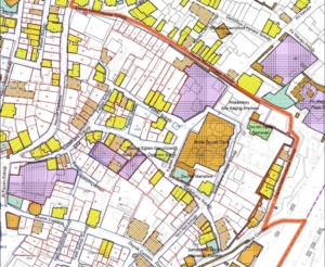
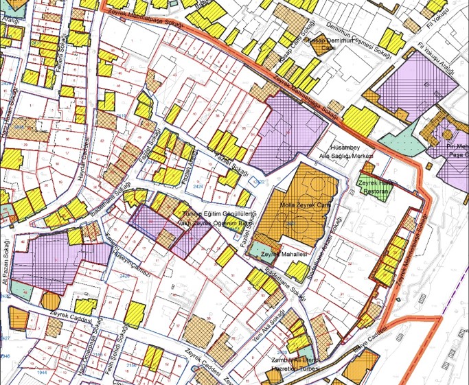
- to record ‘registered’ and ‘proposed to be registered’ assets on GIS,
- to include each of different periods of this multi-layered city,
- to create an inclusive digital database of cultural assets,
- to produce accurate and updated information for planning works,
- to provide open access through web,
- to develop new tools and devices
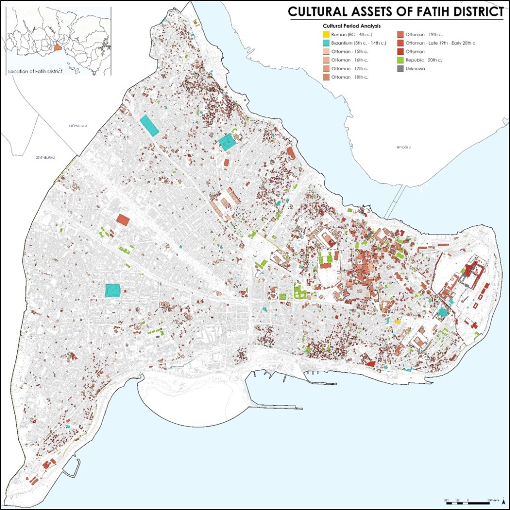
- to share the data via thematic maps, posters, reports or publications.
Project Method
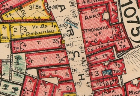
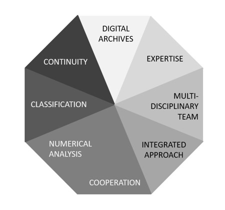
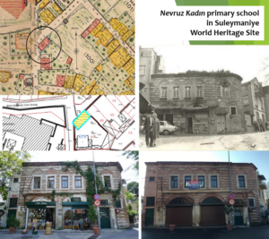
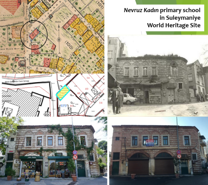
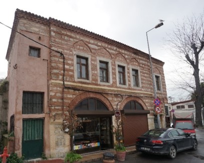
A huge amount of data including historical maps, old photographs, engravings, archive documents, drawings, reports and projects are brought together and classified. During the field-work, each cultural asset is observed and photographed by a multi-disciplinary team including architects, art historians, restorers, urban planners and archaeologists.
Data Collection
field-work
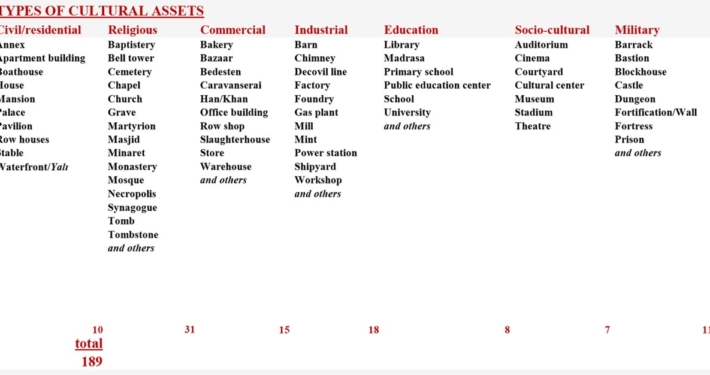
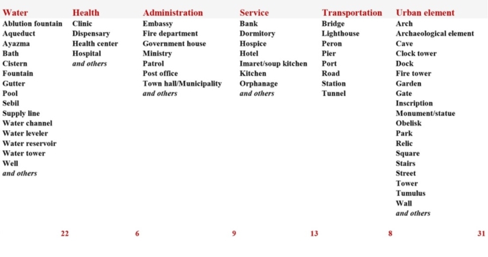
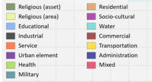
There are 189 types of cultural assets in different categories. Each of these is represented by at least one example in Istanbul.
- Civil/residential
- Religious
- Commercial
- Industrial
- Education
- Socio-cultural
- Military
- Water
- Health
- Administration
- Service
- Transportation
- Urban element
Data Entry
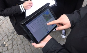
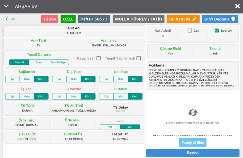
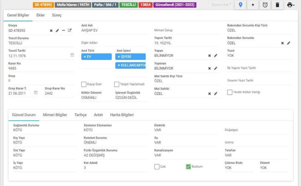
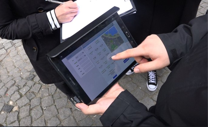
A new GIS-based software has been created & developed with mobile interface for field-work.
The software has been created in collaboration with our GIS Department. It is available for making both data entry and analytical studies.
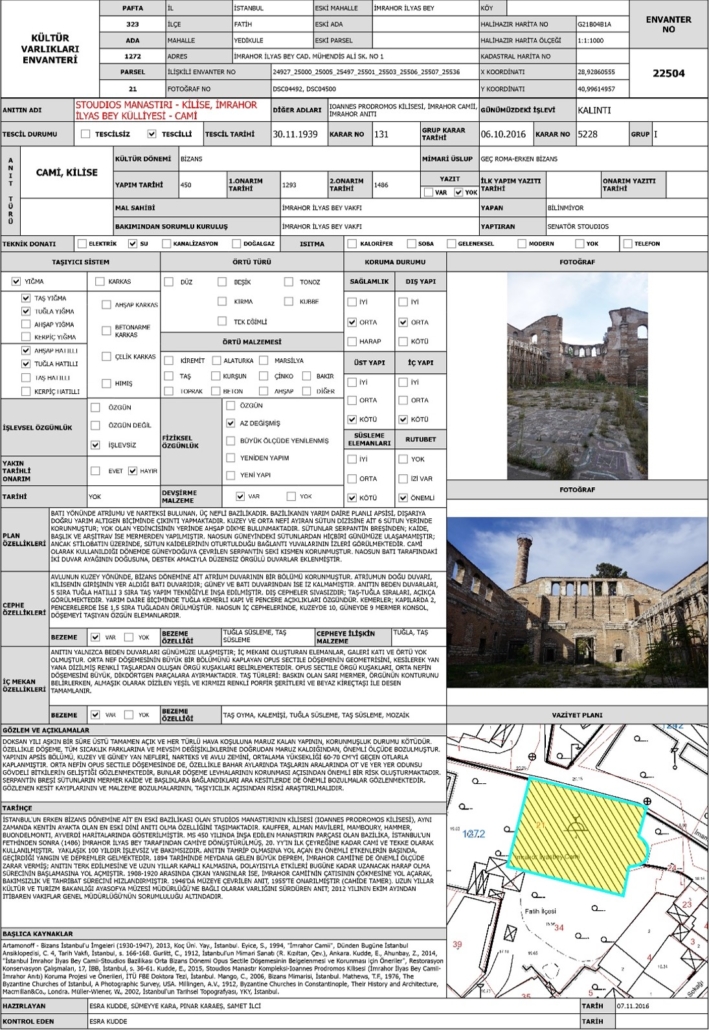
114 types of data such as name, location, current function, physical information, architectural description, authenticity, durability, conservation state, materials, construction technique, problems, observations, recent interventions, bibliography, etc. with current spatial information are recorded in database.
This paves the way to make several inquiries among the data groups.
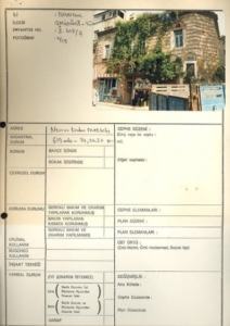
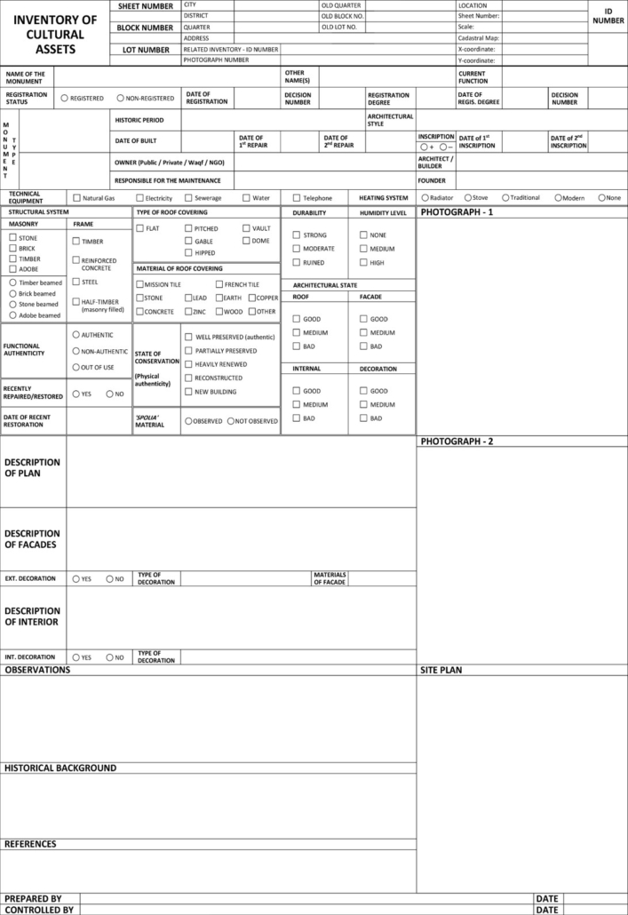
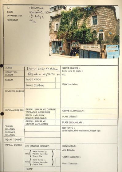
The existing version of the software allows printing 5 different types of inventory forms. One of these types is the common valid form of European Council. Others are designed by our Project Team according to the needs, which are realized during the field-work and data entry.
Forms include the whole data -recorded in the software-, with two current photographs and a site plan. Depending on the database of cultural assets, various analytical studies might be planned, following the standard guidelines of architectural and urban heritage conservation principles. Inventory database also presents and offers different perspectives for further academic studies or research projects.
Analytical Studies
Analytical studies and reports are especially demanded by ‘planning departments’ of the Municipality, or other public institutions, to be evaluated as a basic data in their project areas. Spatial analysis also offers an important contribution to many academic studies or projects.
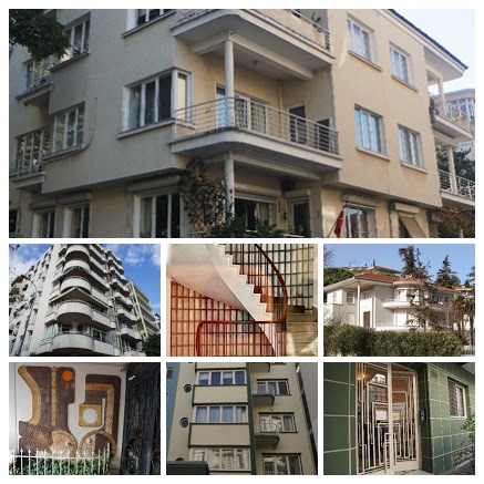
Contemporary works of art & architecture are documented to be proposed to Preservation Boards* for registration, especially ones that are built/designed in mid-late 20th century.
Modern examples of ARCHITECTURE/ART represent the uniqueness and/or harmony with their surrounding urban environment.
The classification methodology and the data processing system will be useful for future projects. The software will be redeveloped until it responds well to possible scenarios of inquiry. It is expected to serve the database for other conservation projects or risk assessment, monitoring and management studies.
Research & development studies for web and mobile versions of the software continue synchronously with the updates.


